
Route
La Dôle is the tour’s highest point at 1,677 meters above sea level, offering sweeping views of the Alps and Lake Geneva.
Starting Point
End Point
Which cities and towns does the E-path pass through
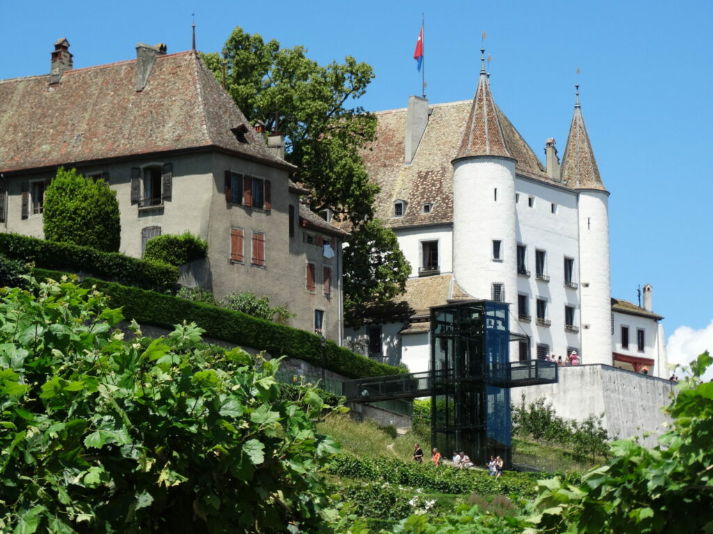
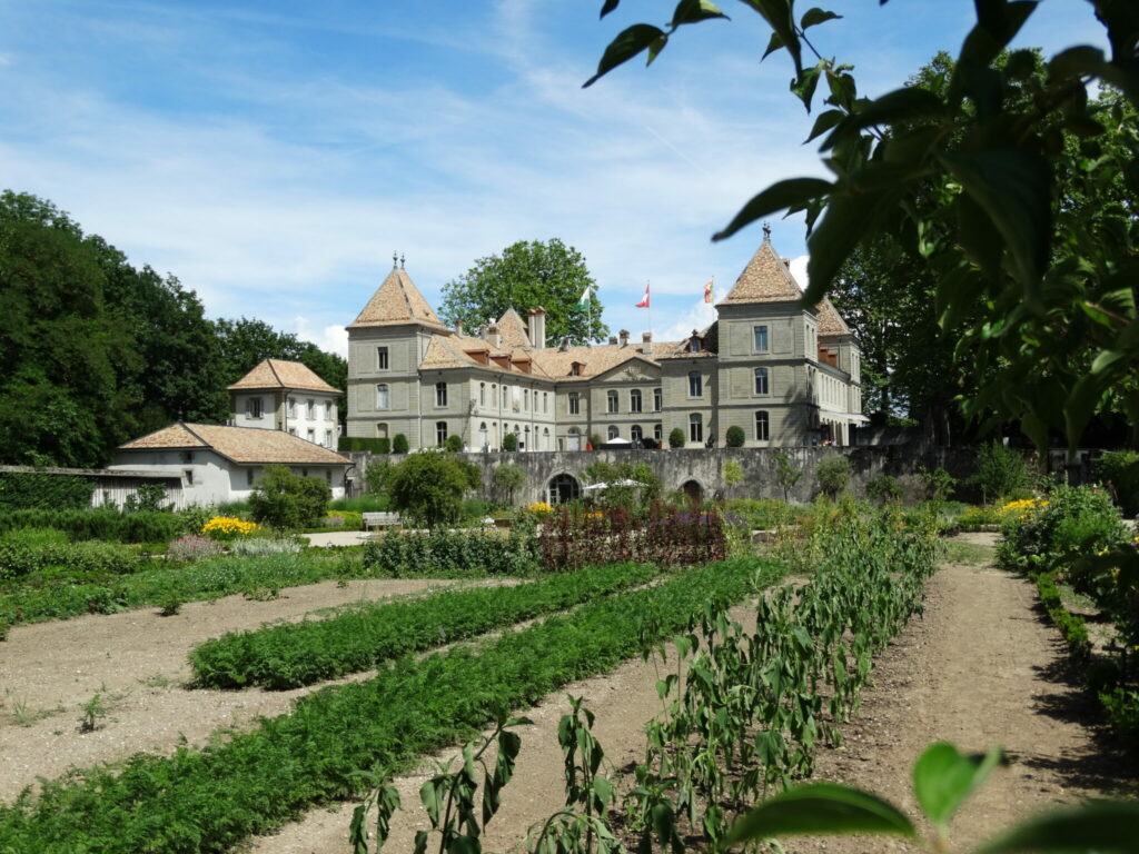
Couvaloup de Crans, Chalet de la Dôle, Saint-Cergue, Nyon
Length
About 16 km
Ground path of the E-path
Chemin de la Dôle
Responsible organisations
Publications
There is no publication for E2 in Switzerland as a whole. But SchweizMobil has several maps that cover the route. schweizmobil.ch/en/hiking-in-switzerland/route116
Maps
SchweizMobil (see above)
Official map showing all hiking trails (swisstopo)
Marking system
Switzerland has three types of hiking trails which are marked differently:
Crossing other E-paths
E4: La St-Cergue till Saint-Cergue Village
Practical
Accommodation
There are many ways to accommodate, e.g. Wanderhotels
Food
You can buy food in a supermarket or visit a bistro, café or restaurant. Alternatively, there are fireplaces along the way.
Travel
Almost all stops on the E2 are connected to public transport. This is the official website of Swiss federal railways: SBB CFF FFS
Here you can plan your hike: Plan’n’hike
Gear
What is always needed: shoes suitable for the hike, rain and sun protection, warm clothing and a snack.schweizer-wanderwege.ch/de/wandern/vorbereiten/ausruestung
Links
schweizer-wanderwege.ch/de/ueber-uns/verband/die-kantonalen-wanderweg-organisationen