Route

Interest
corniche de la Riviera / vieux port de Menton / arrière-pays niçois / Mont Chauve à Aspremont / baou de Saint-Jeannet / gorges du Loup / montagne du Cheiron / citadelle d’Entrevaux / tour de l’Horloge à Castellane / gorges du Verdon / lac de Sainte-Croix / lac d’Esparron / château des Templiers à Gréoux-les-Bains / porte Soubeyran à Manosque / montagne du Luberon / ancien village de Vernègues / fontaines d’Eyguières / chaîne des Alpilles / site antique de Glanum à Saint-Rémy-de-Provence / collégiale royale de Tarascon / pont du Gard / gorges du Gardon / la porte de Sabran à Vézénobres / tour de l’Horloge à Anduze / massif des Cévennes / mont Aigoual / Vieux-Pont du Vigan / cirque de Navacelles / manufacture des Gobelins de Lodève / montagne de l’Espinouse / montagne Noire (Pic de Nore) / cité médiévale de Fanjeaux / place des Couverts à Mirepoix / château cathare de Puivert / gorges de l’Aude / massif des Pyrénées (étang de Lanoux et Puig Carlit ; gorges de la Fou à Porté-Puymorens)
Starting Point
Italian border at Menton
End Point
Andorra border at the Portella Blanca of Andorra
Which cities and towns does the E-path pass through
Menton, Castellane, Manosque, Saint-Rémy-de-Provence, Tarascon, Anduze, Lodève, Labastide-Rouairoux, Mirepoix, Porté-Puymorens.
Length
1.134 km
Ground paths of the E-path, marking and responsible for marking
– GR® 51 : Menton (Alpes-Maritimes) – Cipières (Alpes-Maritimes)
– GR® 4 : Cipières (Alpes-Maritimes) – Montjustin (Alpes-de-Haute-Provence)
– GR® 97 : Montjustin (Alpes-de-Haute-Provence) – Mérindol (Vaucluse)
– GR® 6 : Mérindol (Vaucluse) – Mont-Aigoual (Gard)
– GR® 7 : Mont-Aigoual (Gard) – Portella Blanca d’Andorra (Pyrénées-Orientales)
Marking: double white-red line
Responsible for marking: FFRandonnée committees Alpes-Maritimes, Alpes-de-Haute-Provence, Vaucluse, Bouches-du-Rhône, Gard, Lozère, Hérault, Tarn, Aude, Ariège, Pyrénées-Orientales.
Publications
Sections of the E-path on FFRandonnée topo-guides, available on the ffrandonnee.fr website
 GR® 4-406 « La Haute-Provence par les Gorges du Verdon », réf. 401
 – GR® 6-61-62-63-66-67 « La Grande Traversée du Gard », réf. 603
Maps
IGN has several maps that cover the route
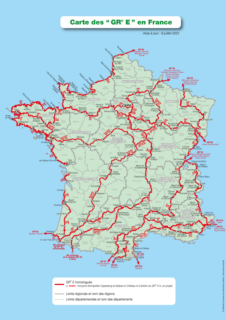
Crossing other E-paths
See map at the end of the page.
Practical
The division into stages is guaranteed by the regular presence of accommodation, resources and transport all along the E-path.
Gear
No specific gear required.
Links
Legal notice
Find all the GR® on mongr.fr
GR® is a trademark registered by the FFRandonnée, it designates the routes identified under the name of “GR®”, marked with white-red marks. These routes are creations of the FFRandonnée. Their unauthorized reproduction, as well as the GR® brand constitute an infringement liable to prosecution.